Improving Global Positioning Systems through Satellite Selection
Overview
Our research examines the possibility of using satellite selection to improve global positioning system (GPS) accuracy. Although GPS is generally accurate at showing users where they are located on the earth, various sources of error may cause its output to be incorrect. The primary source of this error is in the atmosphere. GPS uses satellites that transmit radio signals, and these signals are subject to atmospheric interference. A GPS receiver needs to get data from at least four satellites in order to find its position, but typically there are more than four satellites available. We looked at how using the data from different configurations of satellites can reduce error caused by the atmospheric effect. To do this, we created a computer simulation that allows us to quickly test thousands of satellite configurations at an instant in time. Our simulations showed that the average error is lowest when data from all possible satellites are used. However, there are many configurations that give much less error. After multiple runs of the simulation, we concluded that a GPS is most accurate when using the combination of four satellites whose angles of elevation from satellite to receiver are closest to 45 degrees. This method offers an improvement in accuracy compared to the current method that GPS uses to select satellites, and would be practical to implement on GPS receivers.
Competition history
- ISEF 2016
Resources
Related projects
CYSF · 2026
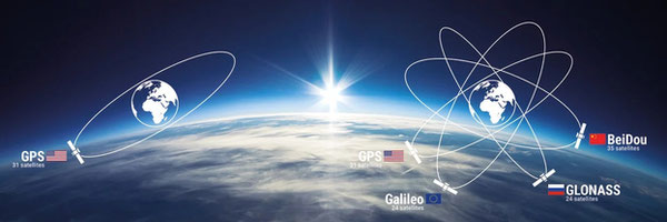
Satellite Navigation Accuracy: Evaluating Multi-Constellation GNSS in Real-World Environments
ISEF · 2018
The Effect of Geomagnetic Activity in the Ionosphere on GPS Signal
ISEF · 2019
Spotting Space Weather: Finding a Correlation between Kp Index and Error Magnitude
ISEF · 2016
Geostationary Satellites: Can We Place One Over Any Location on Earth?
ISEF · 2023
A Novel Passive Positioning System Based on Wave Mechanics
ISEF · 2014
Mars Absolute Positioning System (MAPS): An Innovative Design to Advance the Exploration of Mars
ISEF · 2021
A Novel AI-Based GPS Anti-spoofing System with Subspace Differential Direction-of-Arrival Estimation and Deep Learning Against Dynamic Spoofers
ISEF · 2017
Stability Statistics: The Effect of Incremental Stability Deviations on Rocket Flight Optimization and Precision
Closest projects by meaning, across every fair and year in the corpus.
Browse more like this
Source: Regeneron International Science and Engineering Fair